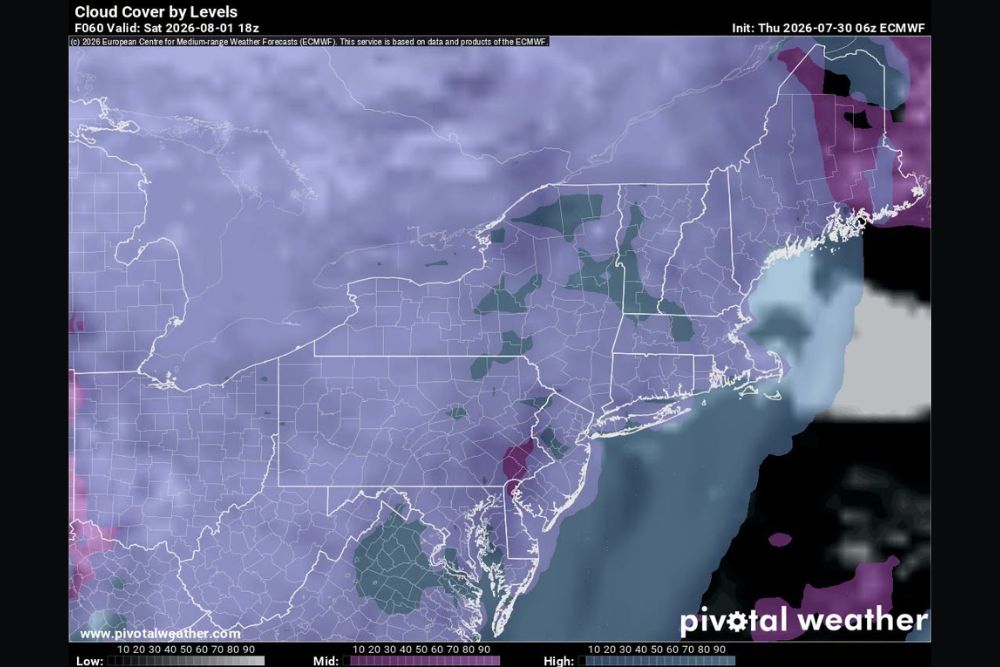
NEW ENGLAND — Saturday’s forecast brings showers with possible thunderstorms mixed in with increasing clouds throughout the day across New England, as high-level clouds mix with mid-level clouds as the day progresses. Meanwhile, temperature guidance shows much of the western and central United States baking under highs in the 90s and low 100s, offering a stark contrast to the cooler, cloudier pattern expected across the Northeast.
Showers and Isolated Storms Expected Saturday Across the Region
Saturday’s setup across New England features a mix of showers with possible thunderstorms embedded within an increasingly cloudy sky, as different cloud layers interact throughout the day.
The combination of high-level and mid-level clouds mixing together suggests a somewhat unsettled but not necessarily washout day, with scattered shower and storm chances developing as Saturday progresses.
Another Storm System Being Tracked for Next Week
Forecasters are already starting to track another storm system expected to affect the region next week, with impacts likely focused primarily on Monday across New England.
This next system could also bring some unsettled showers into Tuesday, though forecasters plan to provide more detailed information on that potential system as it comes into better focus in the coming days.
Much of the US Bakes Under 90s and Triple Digit Heat
Temperature guidance valid for Saturday afternoon shows widespread highs in the 90s and low 100s stretching across much of the western and central United States, including areas reaching 105 degrees in parts of the Southwest.
This stands in sharp contrast to the cooler, cloudier conditions expected across New England, highlighting a significant temperature gradient between the hot central and western states and the more temperate Northeast.
Northeast and Mid-Atlantic See Comparatively Mild Conditions
Temperature and cloud cover guidance for the Northeast and Mid-Atlantic region shows a notably different pattern than the hot conditions farther west, with increasing cloud cover contributing to more moderate temperatures.
This milder pattern across New England and the broader Northeast offers a comfortable alternative for anyone looking to escape the intense heat currently affecting much of the rest of the country this weekend.
Southern Canada Also Sees Comfortable Summer Conditions
Areas of southern Canada, including Alberta and Saskatchewan, are shown with notably cooler and more comfortable conditions compared to the extreme heat gripping much of the United States this Saturday.
This regional contrast highlights how localized the current heat pattern remains, with comfortable summer conditions available in southern Canada even as much of the western and central US deals with dangerous heat levels.